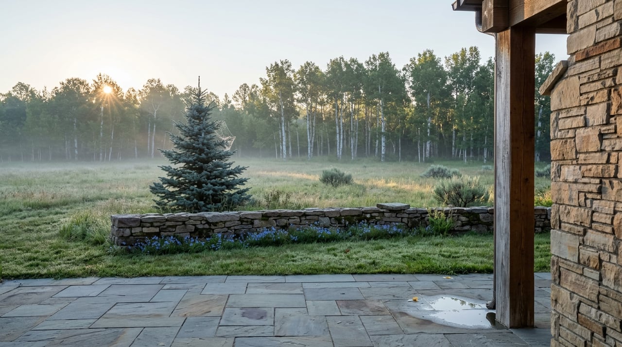
If you're standing in your driveway this week wondering whether today is finally the day to drive up to Mirror Lake, here's the uncomfortable answer: probably not. Not because the road isn't open. It's been open since Memorial Day weekend, when the Utah Department of Transportation reopened both Mirror Lake Highway and the Alpine Loop on May 22, 2026, marking the last of the state's seasonal high-elevation roads to unlock for the year. The road is fine. The timing is the problem.
Most guidance treats "summer" on Route 150 as one long, undifferentiated season, the kind of thing a visitor with three days in Park City has to squeeze in whenever there's a gap. But residents at Promontory don't have that constraint. You live a short drive from the Kamas turnoff, not a flight and a hotel reservation away from it. You can choose your day. And the calendar the road actually runs on has two very different halves, not one, which means the choice matters more than most people driving past your gate this week realize.
Two Summers, Not One
The wildflower window along the byway peaks in the last two weeks of July. By early August, that show is largely over. What isn't over is the crowd it drew. Mid-July through August is also the byway's peak-traffic stretch, the period locals and guides alike flag for heavier weekend congestion and more mosquitoes at the lake edges. So right now, in the first week of August, you're inheriting the costs of peak season without the payoff that justified it.
The better window sits about six to eight weeks out. September into early October brings cooler air, thinning crowds, and the fall color that Utah's high country is genuinely built for. One driver who made the trip in the first week of October described the lower two-thirds of the route lit up in yellow aspen, with the color giving way to bare rock, waterfall, and lake views as the road climbs. That's not a guess about future beauty. It's a documented run of the exact drive you'd be taking, timed to the exact stretch of road that starts at your own gate.
None of this means skip August. It means know what August actually offers, which is access and daylight, not the blooms or the quiet you might be picturing. If solitude and color are what you're after, mark late September on the calendar instead of forcing this week to be the day.
The 42 Miles With Nothing On Them
Here's the part that catches people who treat this like any other scenic drive: once you leave Kamas, there is nothing. No gas stations. No cell service. The byway runs 42 miles from Kamas to the Wyoming border, climbing through the Uinta Mountains, and every practical decision needs to happen before you leave town.
That makes Kamas itself the actual staging point for the trip, not a pass-through. A few specifics worth knowing before you go:
- Fuel and food. Fill your tank in Kamas. For a sit-down meal before or after, Mirror Lake Diner on South Main Street has been a local fixture since 2013, open daily except Christmas. If you'd rather eat on the way back with a glass of wine in hand, Route 32 Bistro on South Main takes its name from the highway itself and leans into locally sourced, modern American cooking.
- Last stop for snacks. If you're headed all the way up, the Samak Country Store sits along the route and is the last realistic place to grab something before the services disappear entirely.
- Permits. The corridor sits inside a National Forest fee area. Passes run roughly $10 for three days, $20 for seven days, or $60 annually, payable at self-service fee tubes along the road or in advance at the Kamas Ranger Station.
- Dress for two different climates. Kamas can sit in the 70s or low 80s on an August afternoon. At Mirror Lake itself, daytime highs typically run 65 to 75 degrees, dropping to 40 to 50 at night. That's a real enough swing that a driver in shorts at the trailhead in Kamas can be genuinely cold an hour later at 10,000 feet.
- No signal, no backup plan. Cell service disappears almost immediately past Kamas. Download offline maps before you leave the valley floor.
What the Drive Actually Gives You
The road climbs from Kamas along the Upper Provo River, through farmland that gives way to forest, and crests at Bald Mountain Pass at 10,715 feet, which makes it Utah's highest paved road. The Uinta range it cuts through is unusual for running east to west rather than the north-south orientation of most North American ranges, which is part of why the light and the ridgelines along this drive don't look like anything else in the Wasatch Back.
Along the way, Provo River Falls is the stop most people actually get out of the car for, a set of cascades with an overlook and shallow pools where wading is common in warmer months. Near the top, Mirror Lake itself has a gravel and boardwalk loop trail circling the water, roughly two miles depending on how you measure it, with a boat ramp limited to non-motorized craft, meaning paddleboards and canoes rather than anything with an engine. For a shorter leg-stretch, Ruth Lake Trail runs about a mile each way with some rocky, uneven sections. If you want to go further into the backcountry from the same trailhead area, marked routes continue on to Bonnie Lake, Scudder Lake, and Naturalist Basin along the Highline Trail.
The Advantage of Already Living Here
Kamas has no hotels. Visitors chasing this drive on a tight window from Park City or Salt Lake often have to time everything around a single day, usually a Saturday, because that's the day they have. You don't have that problem. You have every Tuesday between now and whenever the first real snow closes the pass, which typically starts sometime in November depending on how the season behaves.
That's the actual edge of living inside the gate at Promontory rather than visiting it. The road doesn't care whether you're a homeowner or a tourist. But your calendar does, and yours has more open squares on it than the person driving up from the airport this weekend. Use that. Wait for the six-week window when the aspens turn and the parking lot at Mirror Lake isn't full by nine in the morning, fuel up in Kamas on the way, and treat the 42 miles for what they are: one of the only stretches of pavement in the state that closes for half the year and rewards you for knowing exactly when to show up.
If a question about Promontory, or about how a summer or fall visit here might eventually turn into something more permanent, ever comes up, Debbie Millar has spent years working both sides of the Wasatch Back and is glad to talk through it. Let's Connect.